
The regrowth of tropical forests: remote sensing functional traits of the forest succession
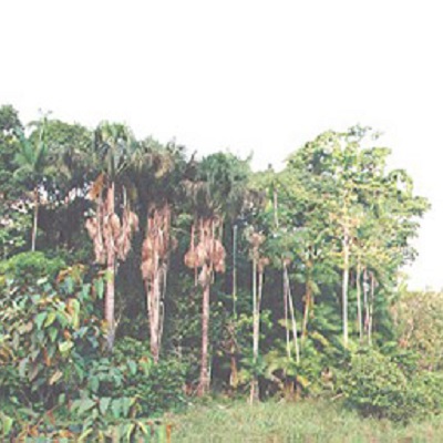
Now that humanity has cleared or damaged at least three-quarters of the world’s primary forests, the regrowth of tropical forests play a key role in global biogeochemical cycles and climate.
For example, secondary forests accounts for approximately 66% of the total fluxes of the carbon sink worldwide. While it has been estimated that 20% of total past deforestation in the Brazilian Amazon is now covered by secondary forests, their extent, age and location remain uncertain.
The study will make use of a multi-scale remote sensing approach and comprehensive forest inventory data in order to model and predict the carbon sink of secondary forests. Data from airborne and terrestrial LiDAR (light detection and ranging) will be combined with satellite images to address the following questions: (i) How do forest carbon stocks estimates by airborne LiDAR (tree heights) compare to those measured in permanent plots of secondary forests (biomass)? (ii) How do the soil, climate and land-use processes interfere in the successional trajectory of secondary forests? (iii) What are the extent, rate of recovery and resilience of secondary forests in the Amazon?
The position will suit an enthusiastic PhD candidate willing to learn remote sensing, tropical ecology and statistical modeling simulations. The PhD candidate will be supported by a NERC fellowship during 3.5 Years with additional grant money facilitating their scientific travels to the Amazon, meetings and conferences.
At the end of this doctoral training the successful applicant will have developed an ability to (1) undertake numerical simulations and mappings of land-use processes underpinning forest succession, (2) develop a characterization of the recovery of secondary forest across the Brazilian Amazon, and (3) produce innovative methodologies to combine remote sensing (LiDAR or satellites) with forest inventory plots (forest structure or biodiversity).
Applications should hold a minimum of a UK Honours Degree at 2:1 level or equivalent in subjects such as Natural Sciences, Biology, and Ecology. Some experience of remote sensing and environmental field work will be advantageous. Applicants should be willing to learn Portuguese and be pro-active in engaging with an international network of partners, including non-scientific stakeholders such as Amazonian farmers or reserve managers.
For further details please contact Dr. Fernando Del Bon Espirito-Santo f.espirito-santo@lancaster.ac.uk